
Find out what the latest weather forecast from the SA Weather Service means for your region for 22 December 2025.
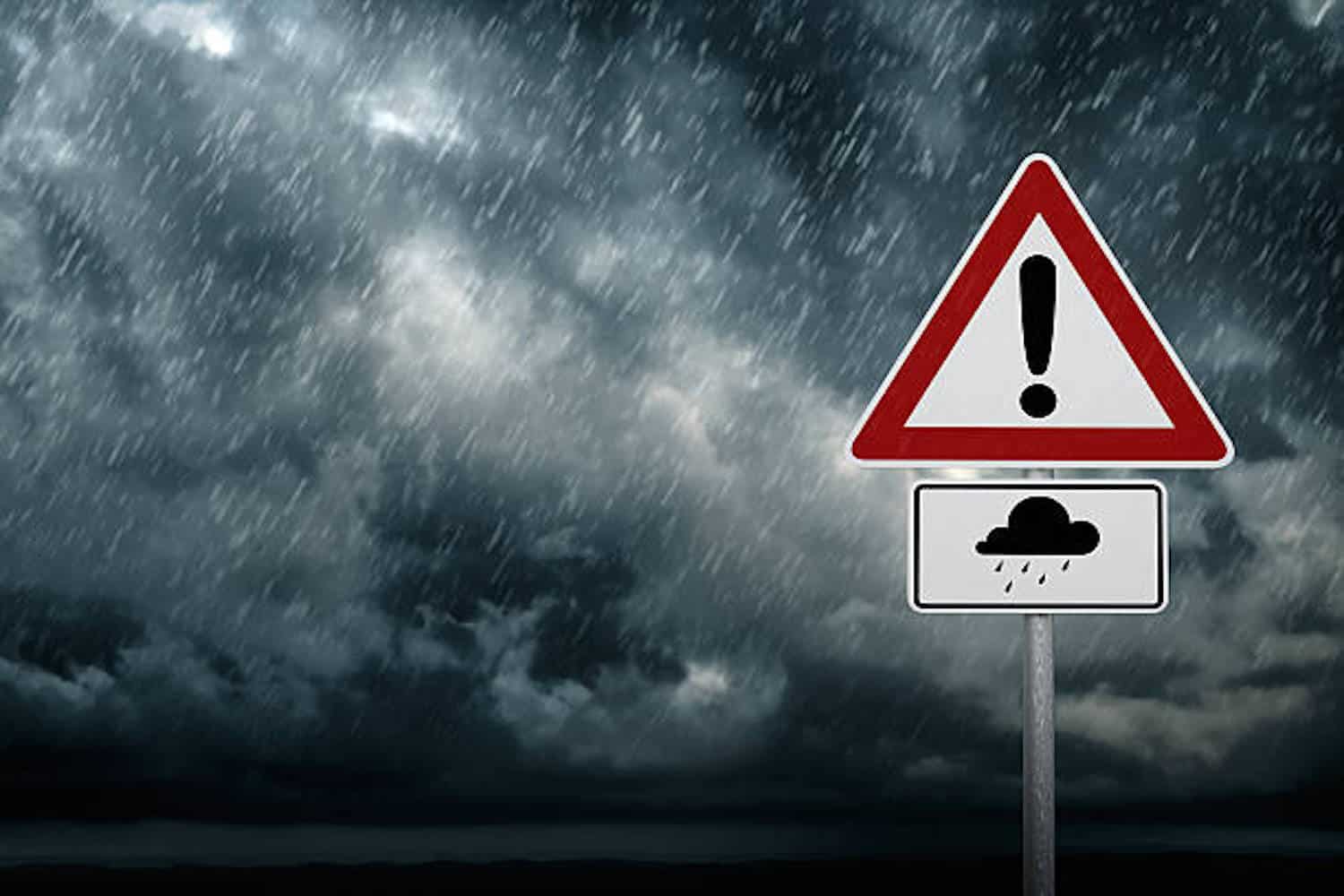
The South African Weather Service (SAWS) has escalated its alerts for Monday, 22 December, forecasting a severe weather system that poses significant risks of flooding, destructive storms, and extreme heat across multiple provinces. This is not a typical summer storm; it’s a multi-hazard event requiring heightened public awareness and preparedness.
The synoptic setup involves a combination of an upper-air trough and abundant atmospheric moisture, leading to predictions of cloudy to partly cloudy conditions with isolated to scattered showers and thundershowers in the west and central regions, and widespread activity in the east. Temperatures will range from cool to warm nationally, with hot conditions persisting in the west. The primary threats, however, lie in the intensity and impact of the predicted rainfall.
Weather warnings, Monday, 22 December
Understanding the Impact-Based Warning System
SAWS uses a color-coded, level-based warning system. It’s crucial to understand what these mean:
– Yellow: Be aware. Severe weather is possible.
– Orange: Be prepared. Severe weather is likely.
– Red (not issued here): Take action! Widespread damage and danger are expected.
The level (1-10) indicates severity within the color.
Critical Warnings in Effect:
ORANGE LEVEL 5 WARNING (Disruptive Rain): This is the most serious alert for Monday. It is in effect for the northern and eastern parts of Limpopo. Residents in these areas can expect flooding of formal and informal settlements, major road disruptions, and damage to vulnerable infrastructure like low-lying bridges and mud-built houses. This level of rain can quickly overwhelm drainage systems.
YELLOW LEVEL 4 WARNING (Disruptive Rain): Issued for the northern parts of Mpumalanga and south-western Limpopo. Similar impacts—flooding of settlements and roads, and damage to vulnerable structures—are expected, though potentially less widespread or intense than the Orange Level 5 area.
YELLOW LEVEL 4 WARNING (Severe Thunderstorms): A broad warning for a dangerous cocktail of storm hazards across Gauteng, extreme south-western Limpopo, southern Mpumalanga, eastern North West, eastern Free State, and western KwaZulu-Natal. Threats include:
– Heavy Downpours: Leading to flash flooding.
– Excessive Lightning: A major risk for life and property.
– Damaging Winds: Can cause structural damage and uproot trees.
– Large Hail: Potentially damaging vehicles, roofs, and crops.
YELLOW LEVEL 1 WARNING (Severe Thunderstorms): For the north-central Northern Cape, indicating a risk of localised flooding, damaging winds, hail, and dangerous lightning.
Additional Hazards: Fire and Extreme Heat
Fire Danger: Ironically, while the east battles floods, the western parts of the Northern Cape and northern Western Cape face extremely high fire danger conditions. Hot, dry, and windy weather creates a tinderbox environment where fires can ignite easily and spread rapidly.
Heat Advisories: Extremely hot and uncomfortable conditions are forecast for the Namakwa District (Northern Cape) and much of the Western Cape (excluding the south coast). This poses health risks like heat exhaustion and heatstroke, especially for the elderly, children, and those working outdoors.
Provincial weather forecast
Provincial Breakdown: What You Need to Know
Here is a detailed forecast and risk assessment for each province on Monday, 22 December:
Inland provinces
Gauteng: Cloudy, cool to warm with widespread showers and thundershowers. The Yellow Level 4 severe storm warning is key here. Secure loose outdoor items, avoid travel during heavy storms, and be prepared for localised power outages. UVB Index: Moderate.
Mpumalanga: Cloudy, cool to warm with widespread showers and thundershowers. The northern parts are under a Yellow Level 4 disruptive rain warning. Be vigilant for rising water levels.
Limpopo: Cloudy, cool to warm with widespread showers and thundershowers. This is the epicenter of the most severe threat, with the northern/eastern regions under an Orange Level 5 warning. Flood preparedness is critical. Have an evacuation plan if you live in a flood-prone or informal settlement.
North West: Cloudy, cool to warm with isolated to scattered showers, but widespread in the east. The eastern areas fall under the severe thunderstorm warning.
Free State: Cloudy, cool to warm with scattered to widespread showers, isolated in the west. The eastern parts are included in the severe thunderstorm warning.
Coastal provinces
Northern Cape: A province of contrasts. Morning fog on the coast, otherwise partly cloudy, warm to hot with isolated to scattered showers (severe storm warning in north-central parts). Extremely high fire danger in the west. Coastal wind: Moderate to fresh westerly/south-westerly.
Western Cape: Morning fog on the west coast, otherwise fine, warm to hot (very hot in eastern interior). Partly cloudy in the south. Extreme heat advisory in place, with high fire danger in the north. Coastal wind: Variable, becoming moderate to fresh southerly/south-easterly. UVB Index: Extreme. Sun protection is non-negotiable.
Eastern Cape (western half): Partly cloudy, warm to hot with isolated showers in the extreme east. Coastal wind: Moderate easterly, strengthening in the afternoon.
Eastern Cape (eastern half): Partly cloudy, warm to hot with scattered showers and thundershowers. Coastal wind: Fresh to strong north-easterly.
KwaZulu-Natal: Cloudy, cool to warm with scattered showers, widespread in the west (which is under the severe thunderstorm warning). Coastal wind: Moderate to fresh northerly/north-easterly. UVB Index: High.
Immediate Safety Actions to Consider
- Do not cross flooded roads, bridges, or low-lying areas. Just 15cm of fast-moving water can sweep a person away.
- If in a severe thunderstorm warning area, move indoors, away from windows. Unplug sensitive electronics.
- In high fire risk areas, avoid any open flames, welding, or activities that could spark a fire.
- In extreme heat areas, stay hydrated, limit outdoor activity during peak sun (11am-3pm), and check on vulnerable neighbours.
- Monitor official updates from the South African Weather Service and local disaster management teams.
NOW READ: Weather alerts: Severe thunderstorms expected in these regions on Sunday